St-Robert Mines & Metals
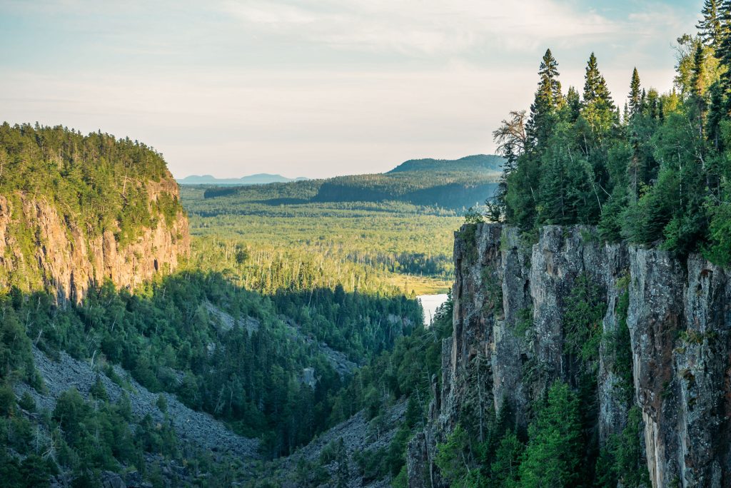
Located in the Riseborough and Marlow Townships in St-Robert-Bellarmin, near Quebec City, Montreal and is approximately 8 km to the NW of the USA border. The St-Robert Property was acquired for its gold and high technology (tungsten, bismuth) mineral potential. With known mineralisations and historical work – the main intrusive remains to be discovered.
Many authors have tried to define a deposit type for St-Robert Metals deposit. While they are far from unanimous, there is clearly one geological feature on which everybody agrees: the intrusive at depth.
This intrusive has never been drilled and was located by magnetic survey. The sector is a relatively under-explored region of southern Quebec.
Overview
- 220 mining claims covering 110 Km²
- Historical work performed with historical mine and exploitation in the southwest area (St-Robert mine).
- Recent discoveries in the northern section demonstrate the continuity of these gold polymetallic showings
- Favorable region for mining on Domtar properties.
- Vast network of existing forestry roads for easy access. The property benefits from excellent infrastructure allowing for the potential to become a mine in the future.
- Partnership with INRS- ÉTÉ for mineral exploration
Opportunity
- The Gouvernement du Québec is investing in the new economy linked to critical and strategic metals in order to continue Québec’s renewable energy transition
- Gold, Copper and Polymetallic Metals (tungsten, bismuth,lead, molybdenum and silver).
- Potential for a large district scale mining operation.
- Long history as a Tungsten mine, one the toughest and most durable of all known metals in the world.
- Tungsten is nearly impossible to substitute for other metals; Its unique properties make it extremely price inelastic, with demand remaining in place even as costs rise.

Project Aquisition: 50% options and other 50% in shares trading
Exploration Work
1.4 million of expenditure on exploration work on the project between 2021-2024.
In May, June, and August 2022, the Institut National de Recherche Scientifique (“INRS”) carried out five 2 km-long audiomagnetotellurics sections (continuous profiling and stations every 50m). These sections were carried out in order to clarify the deep geology of the area of the former St-Robert mine. This geophysical data will be used, among other things, to locate fundamental structures (faults) conducive to the establishment of gold mineralization in the area. During the same period, the field team carried out three geoelectric tomographic sections (resistivity and electrical chargeability) with a length of 1000m and very high spatial resolution (electrodes every 5m) to specify the thickness of glacial sediments and forest soils above the bedrock and locate areas of electrical chargeability (disseminated sulphides) that can be sampled by mechanized excavation from the surface.
In July 2022, the INRS team had the opportunity to map and sample new quarries (quarries 1, 2 and 3) used by Domtar as sources of aggregates for the repair of forest roads in the region (east sector of the Rivière du Loup). Geological mapping work has shown the presence of several generations and types of quartz-chlorite-iron carbonate and sulphide veins intersecting folded sedimentary rocks in the vicinity of major faults with graphitic surfaces. In addition, this work has shown the presence of blackish sandstone and mudslate units containing semi-massive or disseminated pyrite mineralization with stratigraphic control and extending over long distances in quarries # 1 and # 3 (more than 100m). These sulfide mineralized zones were the subject of a collection of around a hundred samples which were characterized in the INRS laboratories. These samples were sent in the third week of October 2022 to the Actlabs laboratory (Ancaster, Ontario) for analysis of gold and trace elements indicative of gold mineralization by the instrumental neutronics activation analysis method (INAA).
History
The history of the property dates back more than one hundred years, with gold discovered in the area around 1879. From 1879 to 1885, the Lacombe shaft (an adit) was developed and used to extract ore. Lachance Mines was the first company to report significant field work, including stripping and diamond drilling, up to 1952.
In 1953, the property appeared under the name of St-Robert Metals Corp., which undertook more drilling and underground work, driving the Lee shaft (an adit). In 1958, St-Robert Metals erected a 108 ton-per-day mill. During that same year, it milled 1,000 tons of ore and shipped 5.4 tons of concentrate in Germany, which yielded a metal content of 60% Pb, 350-400 oz/t Ag, 0.1 to 0.5 oz Au/t and 4-5% Bi. St-Robert Metals appears to have held the property until 1969, when work was reported by Nouvelle Mining. In 1977, the property was held by J.A.G. Mines.
Historical resources
1.9 Mt W@ 0.59%| Zone Sud | Zone centre | Zone Nord | ||||
|---|---|---|---|---|---|---|
| Ore body | 1 | 2 | 3 | 4 | 5a | 5b |
| Proven tonnage (T) | 147 764 | 110 506 | 139 333 | 129 024 | 317 280 | 51 200 |
| Ore | Au, Ag, Pb, Bi | Au, Ag, Pb, Bi | Au = 0,4 oz Ag = 1,1 oz | WO3 = 0,6% | WO3 = 0,59% | Ag, Pb, Bi, WO3 |
| Cluster length (m) | 232 | 226 | 168 | 293 | 146 | 390 |
| Cluster width (m) | 35 | 24 | 76 | 55 | 11 | 0,30 |
| Known vertical extension of the cluster | 97 | 107 | 58 | 43 | 46 | 152 |
| Probable tonnage (T) | 206 869 | 280 000 | 253 333 | 215 040 | 1 211 760 | - |